Outlines
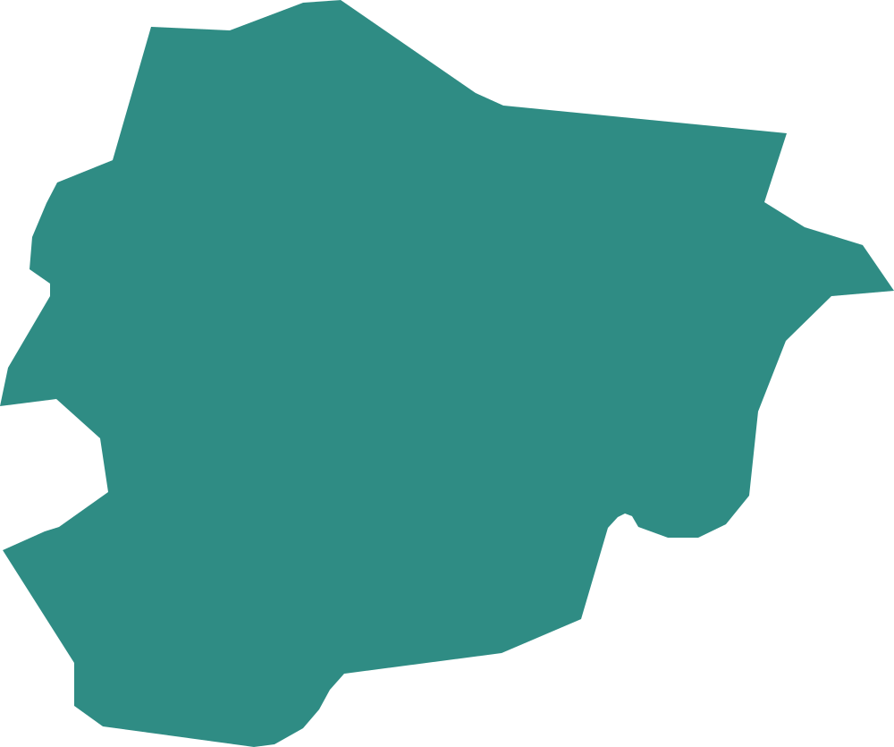
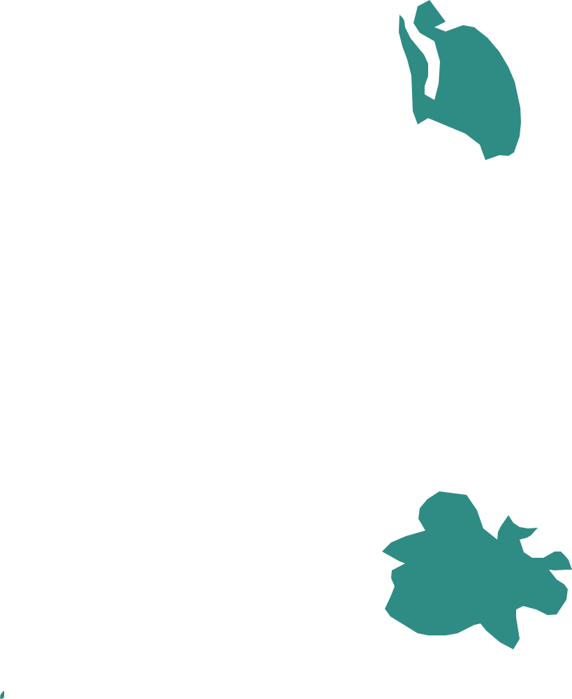
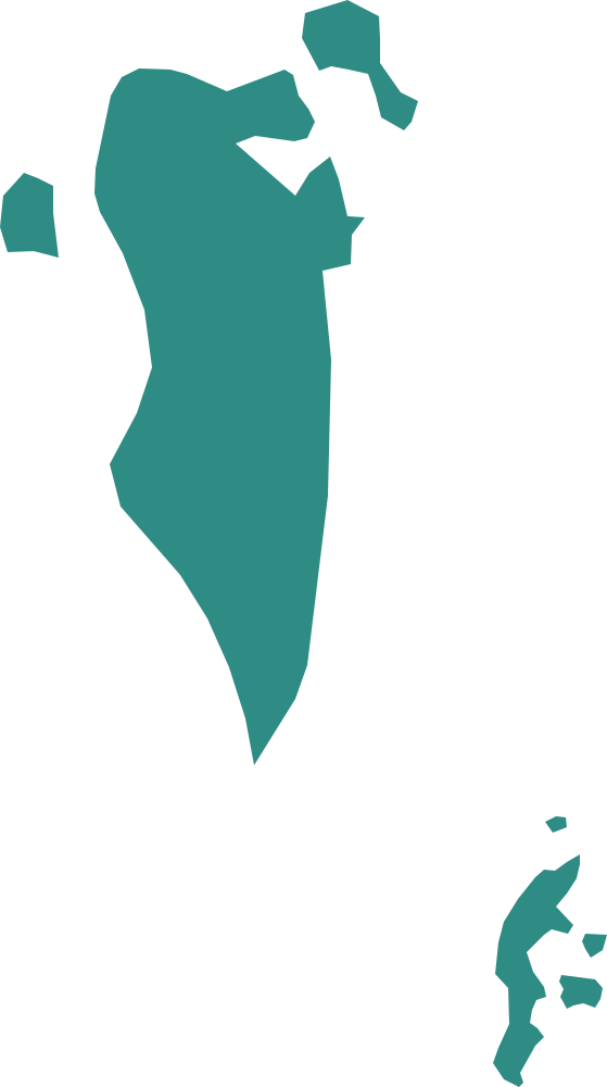
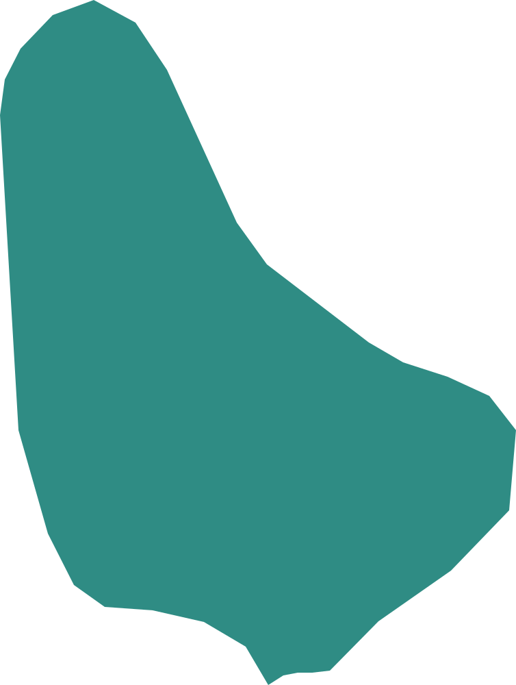
Which country has this shape? 193 outlines, from the boot of Italy to the long, thin one in South America. Four choices, no timer, and a map of the neighbours after each answer.
A mixed round takes ten shapes from all over the world.
Practise by pack
Packs are teaching groups. Regional packs follow the UN M49 regions (UN Statistics Division), grouped into eleven areas; each country is in exactly one of them. Difficulty packs reuse Atlas Play’s three familiarity tiers (the 60 starter countries, then well-known, then the rest). They are not official classifications.
By region
Northern and Western Europe
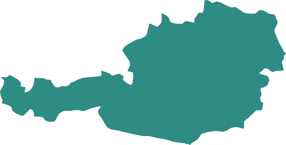
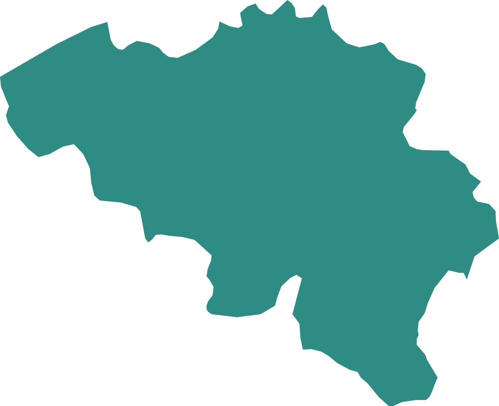
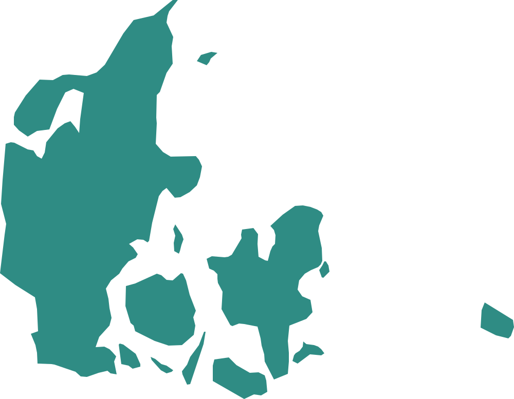
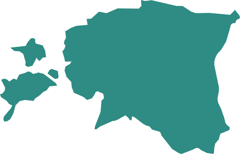
Seventeen shapes from Iceland to Austria: the Nordic countries, the Baltics, the British Isles and the heart of Western Europe.
 Region
Southern and Eastern Europe
From Portugal to Russia: the boot of Italy, the Balkans and the wide plains of Eastern Europe.
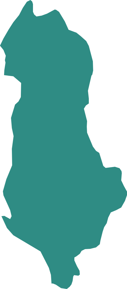
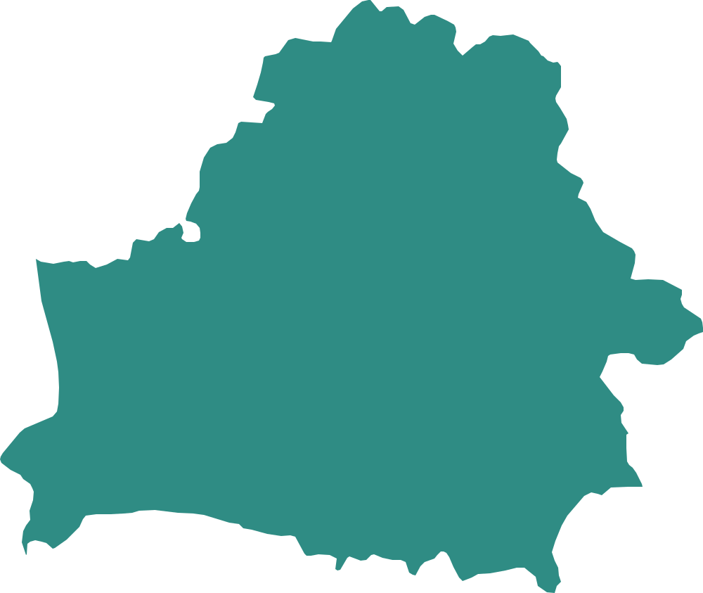
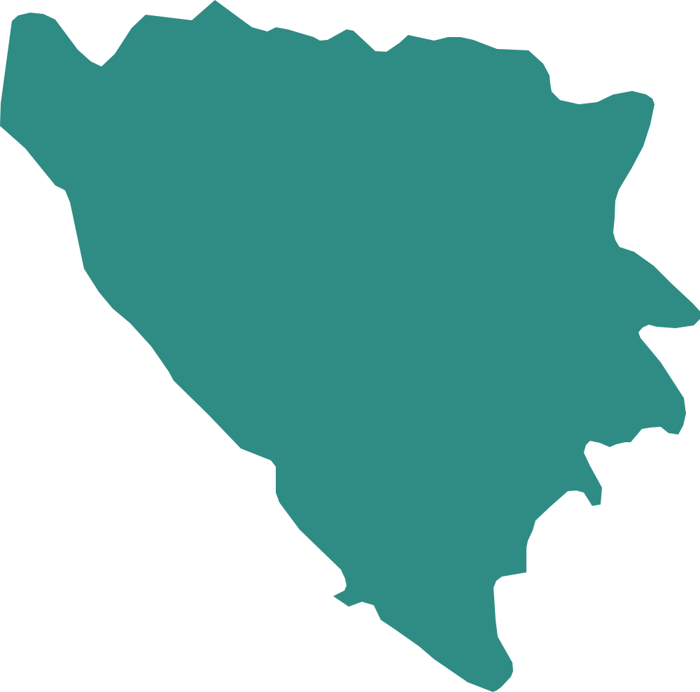
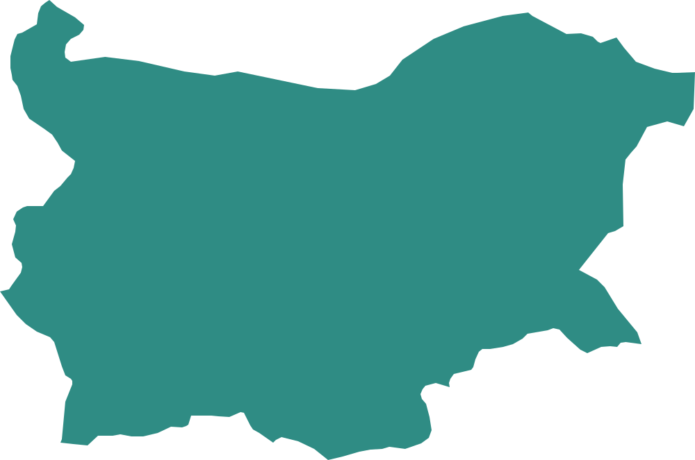 Region
North and West Africa
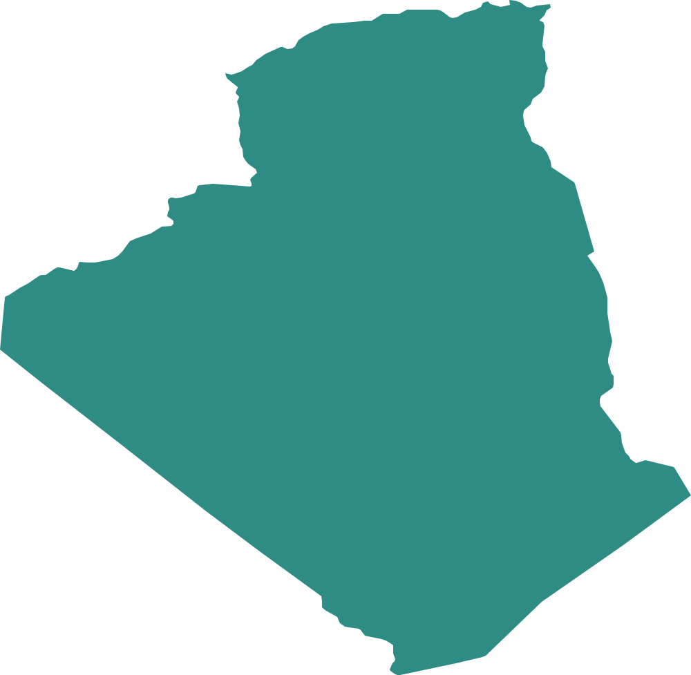
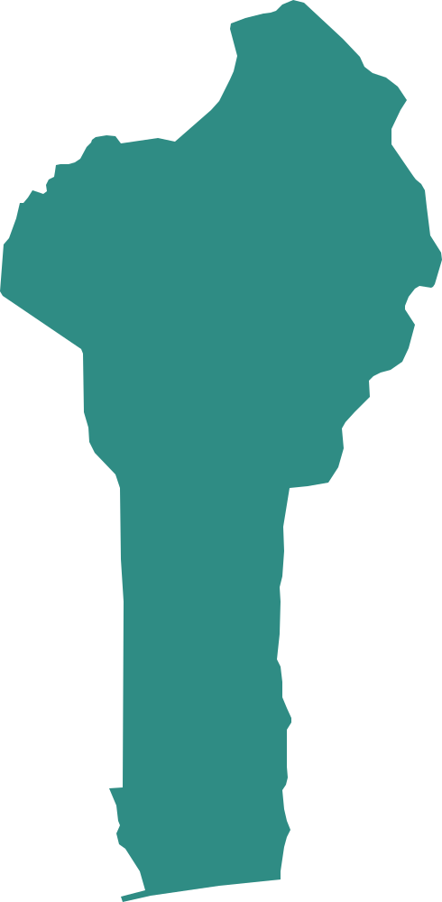
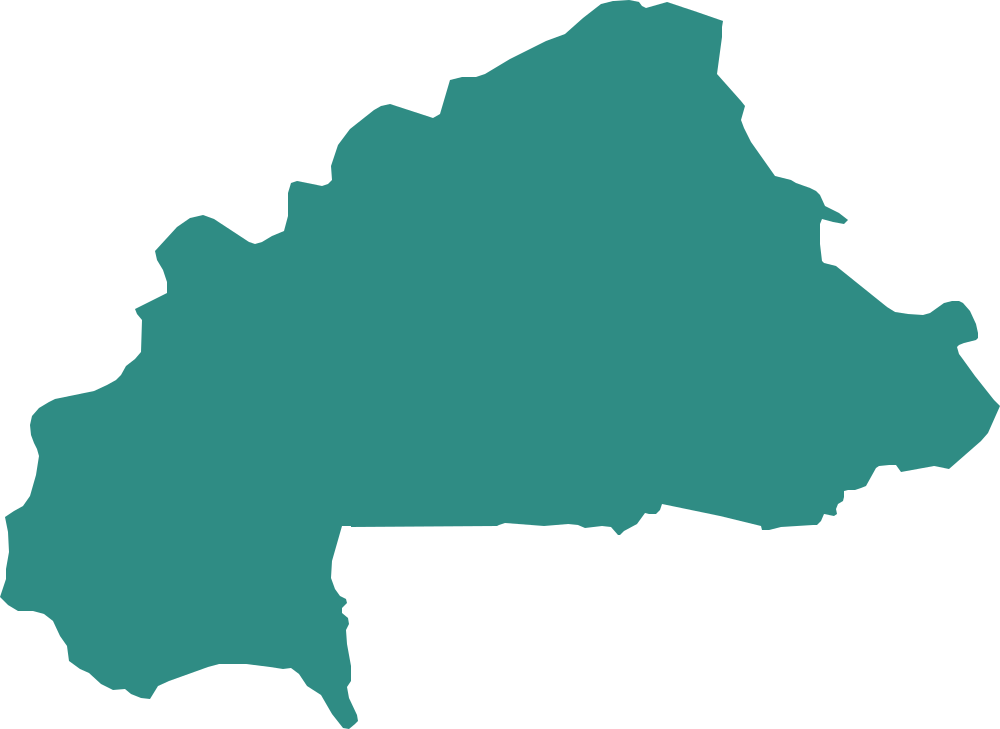
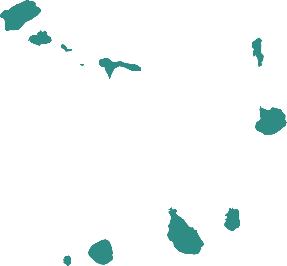
The Maghreb, the Nile and the West African coast, where several countries share long straight borders.
 Region
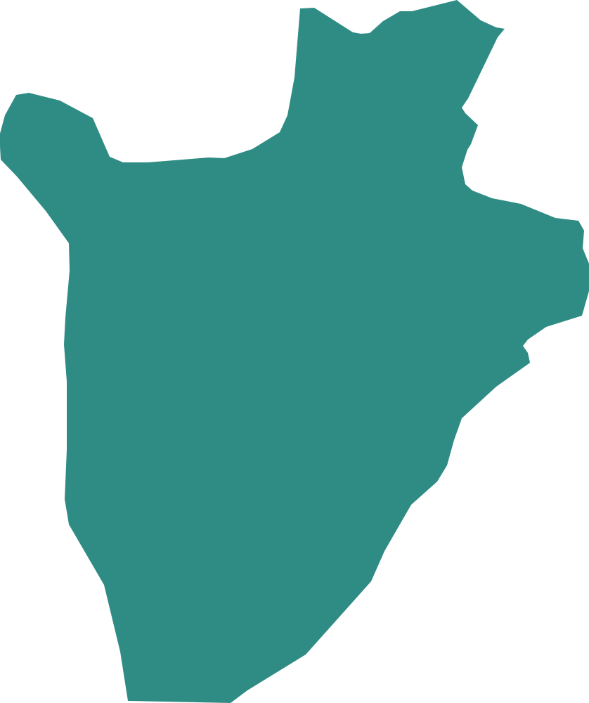
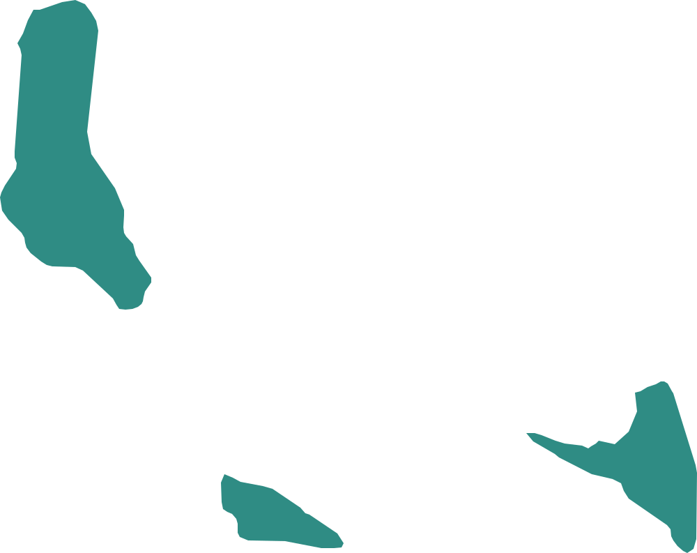
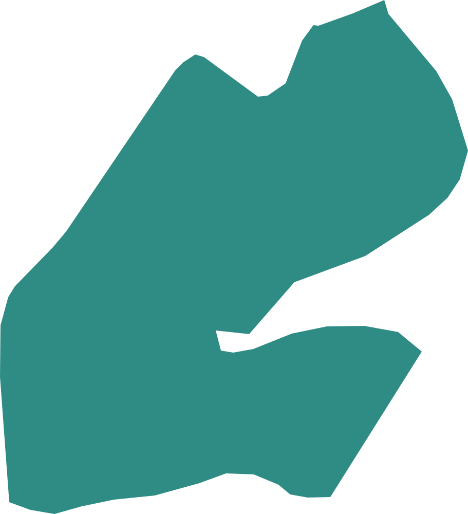
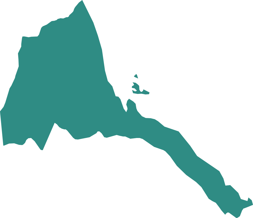
East Africa
The Horn of Africa, the Great Lakes and the islands of the Indian Ocean.
 Region
Central and Southern Africa
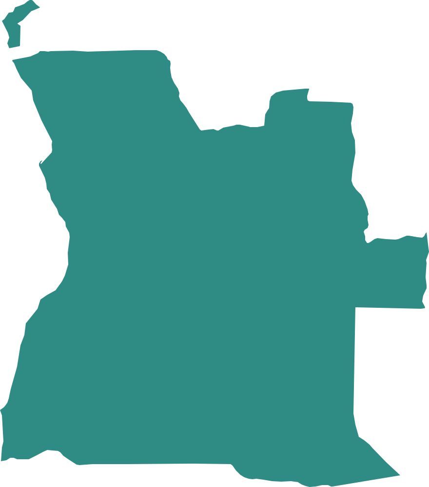
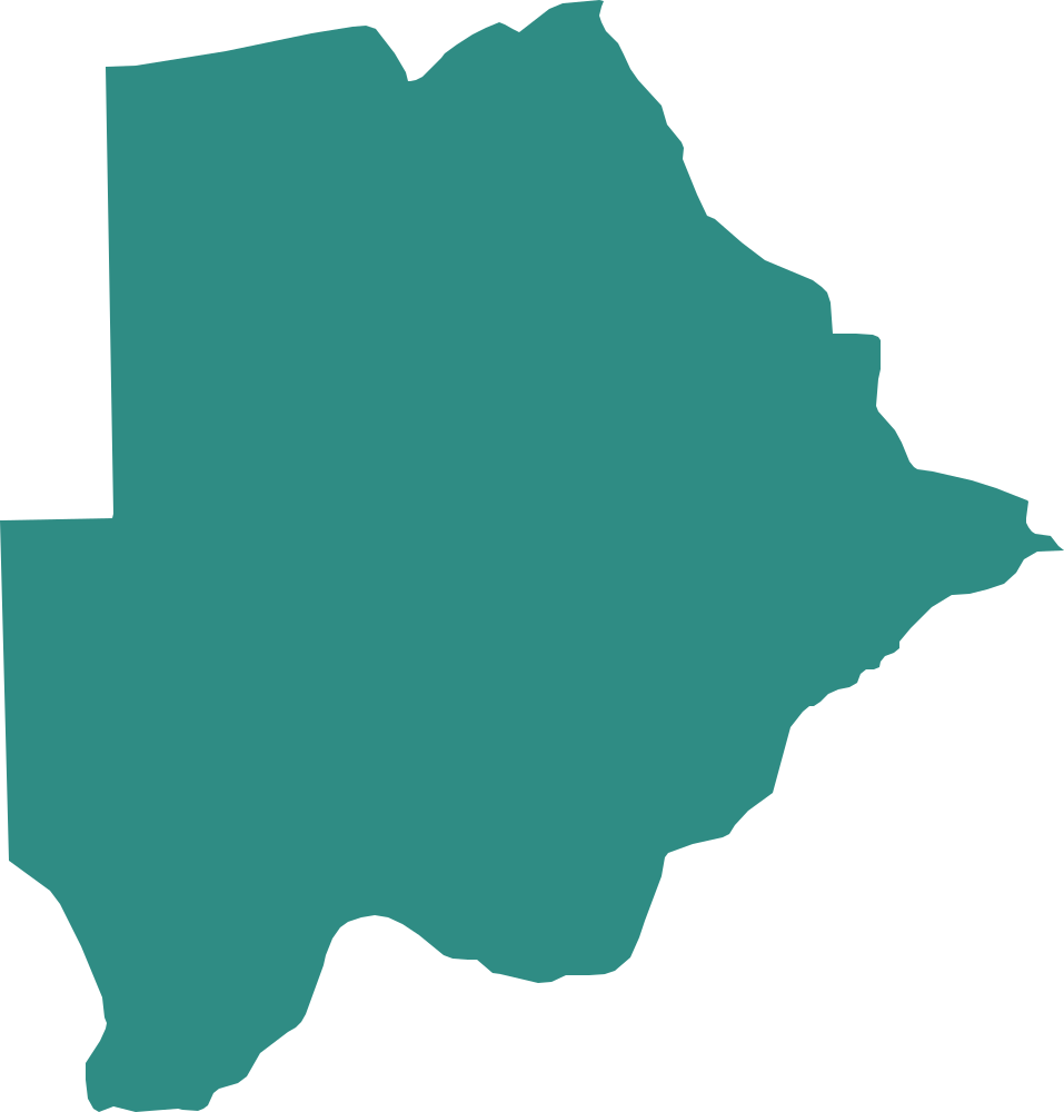
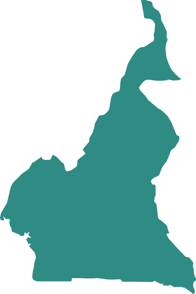
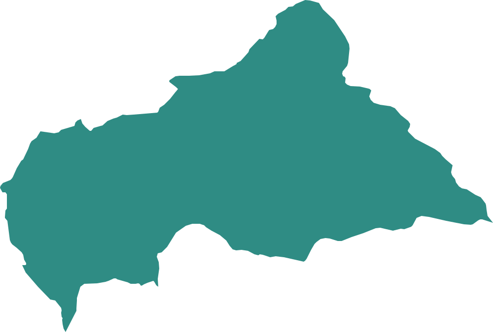
Central and Southern Africa, from Chad to South Africa (with Lesotho inside it).
 Region
Western Asia
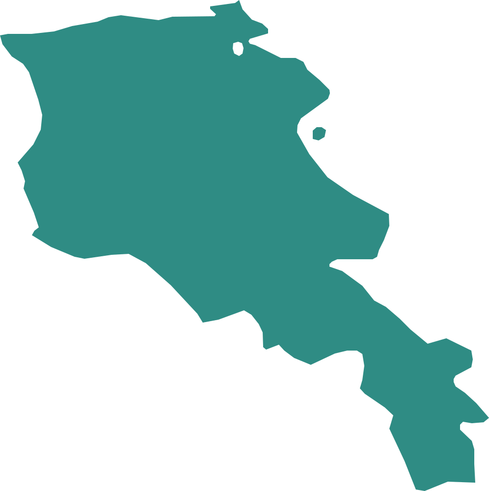
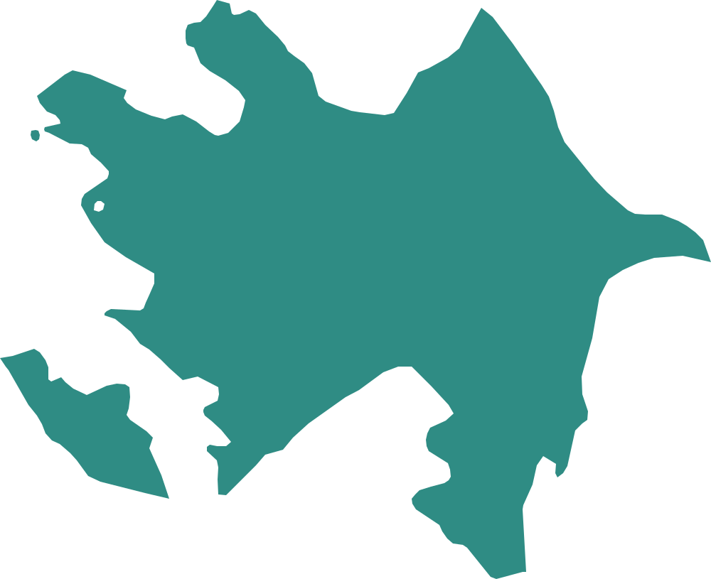
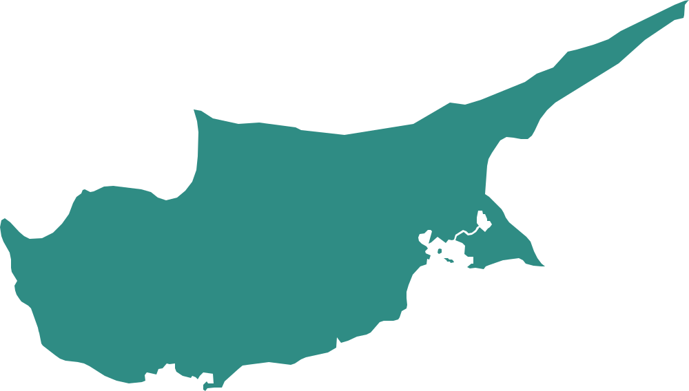
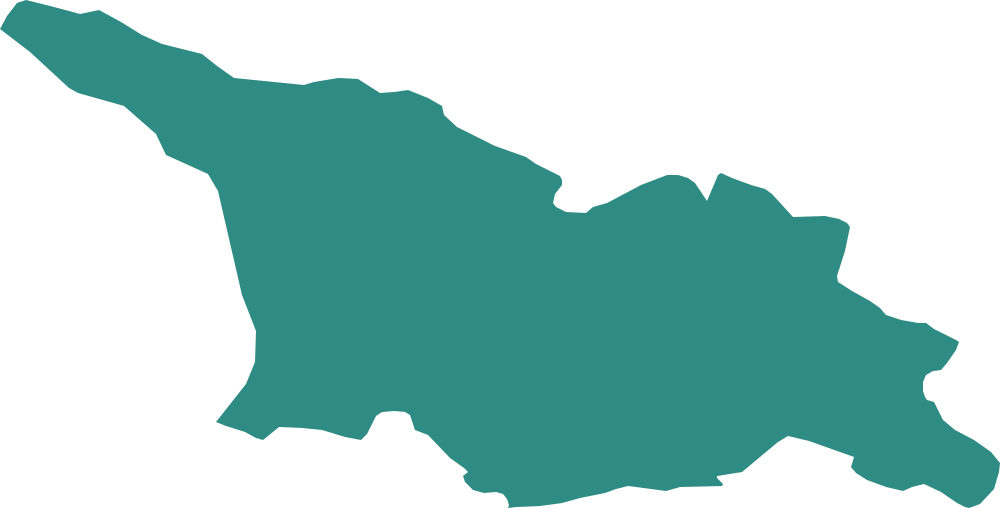
The Middle East and the Caucasus: peninsulas, deserts and mountain borders.
 Region
Central and South Asia
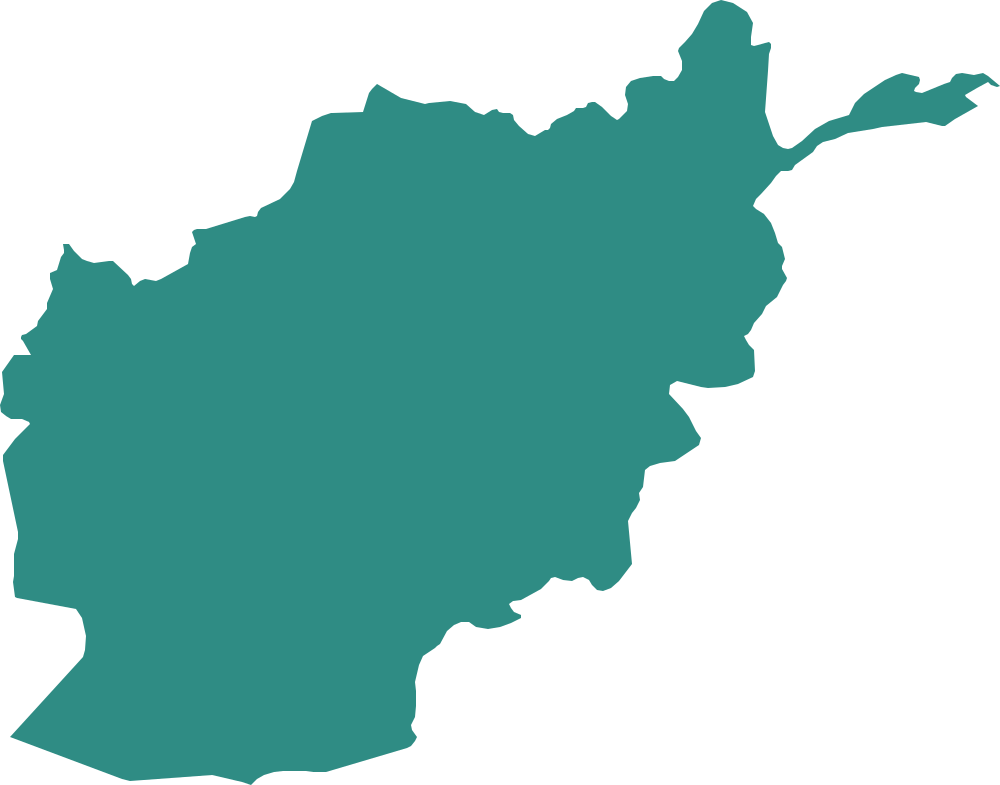
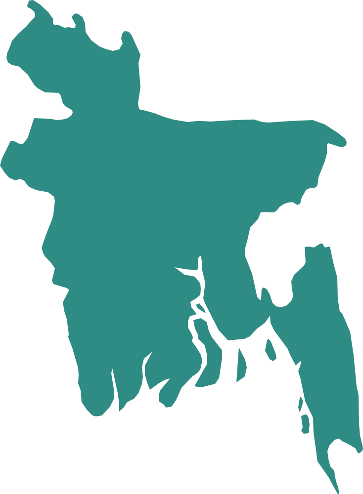
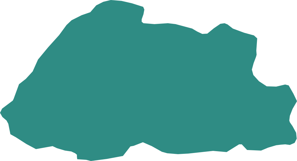
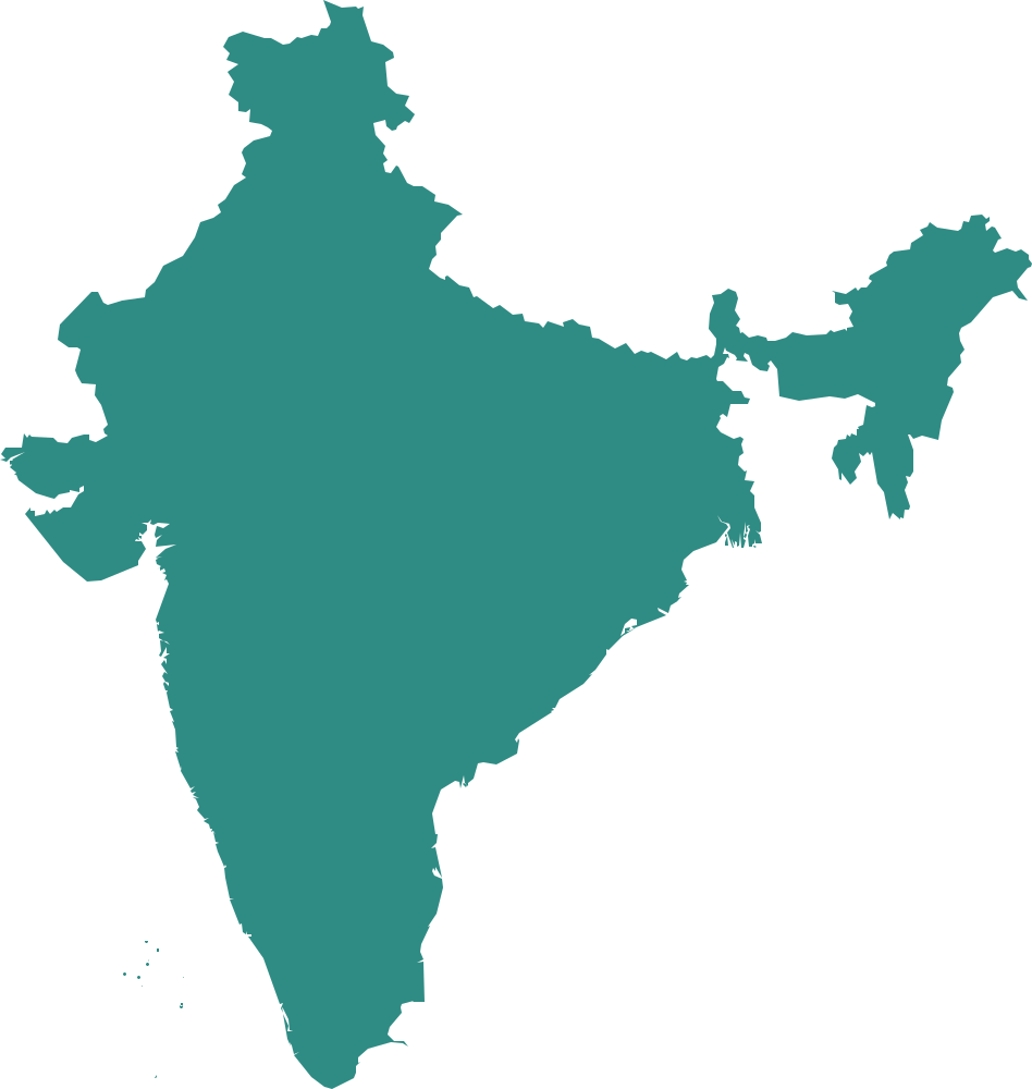
From the Caspian Sea to Sri Lanka: Central Asia, the Himalaya and the subcontinent.
 Region
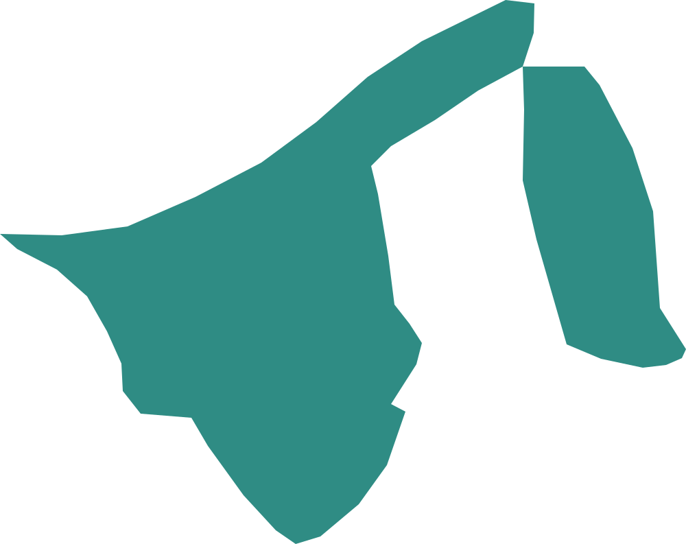
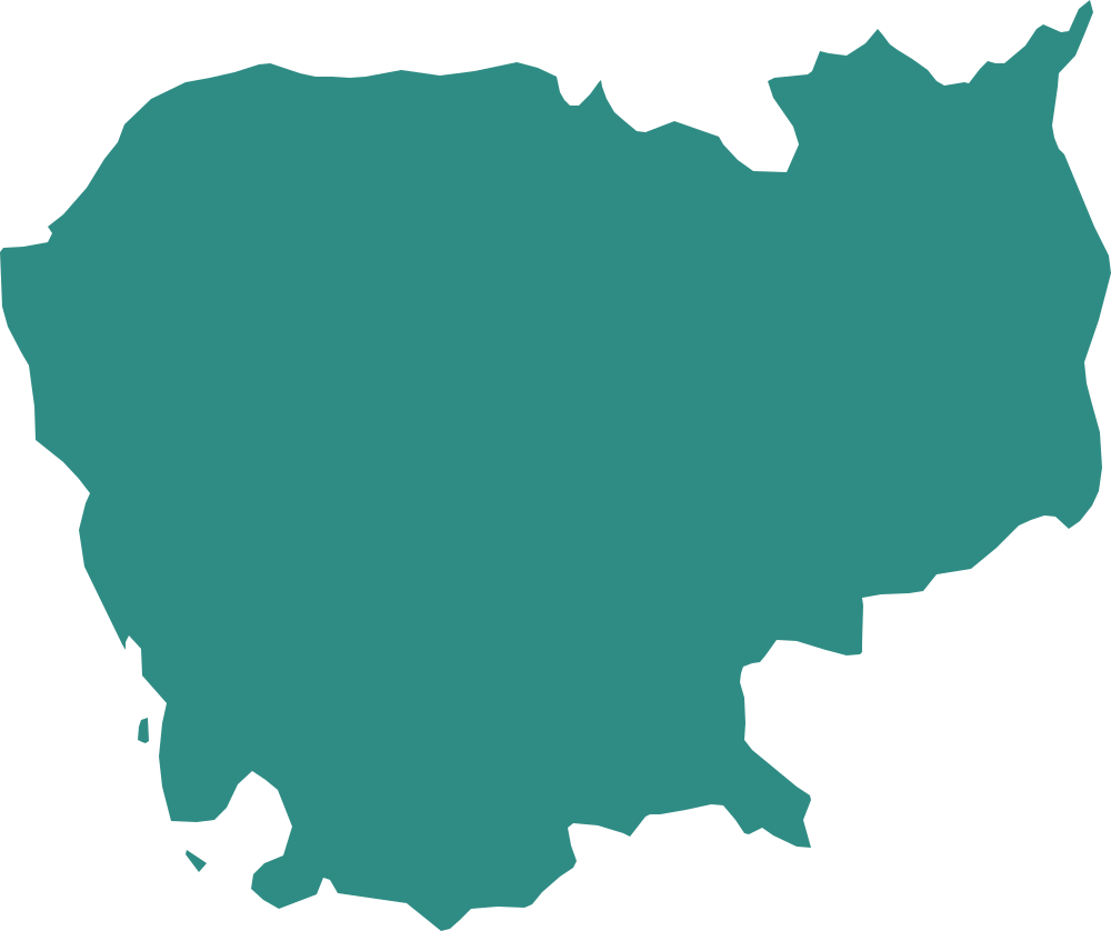
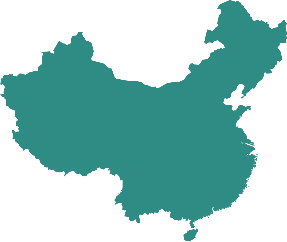
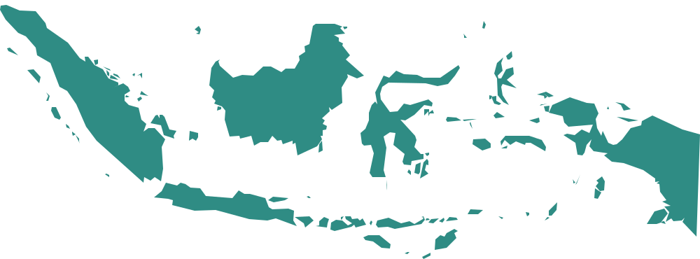
East and South-East Asia
East and South-East Asia: long coasts, peninsulas and big island countries.
 Region
North and Central America and the Caribbean
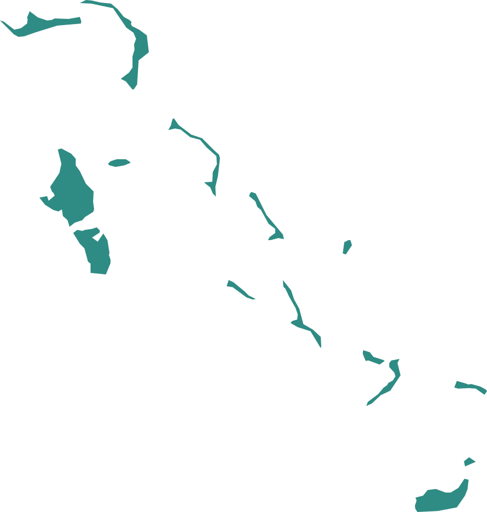
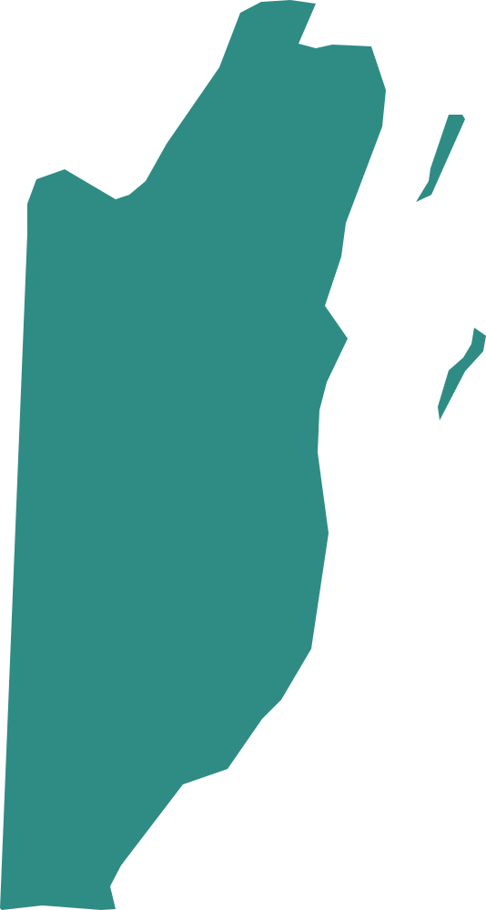
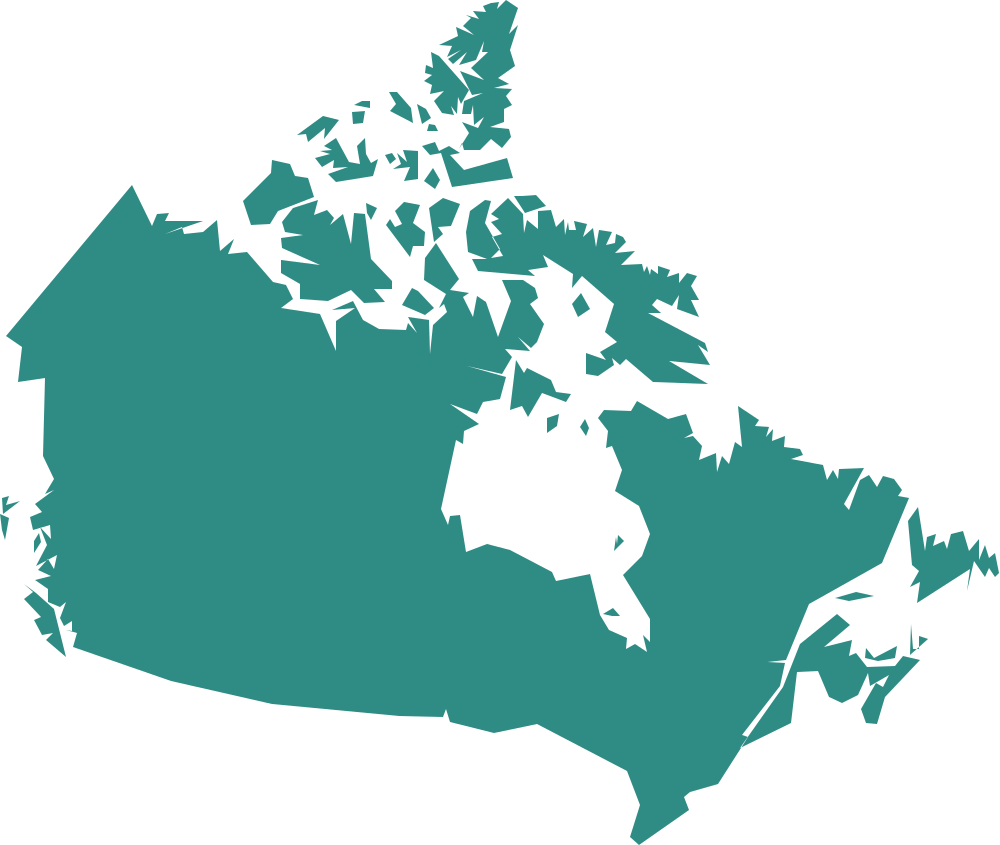
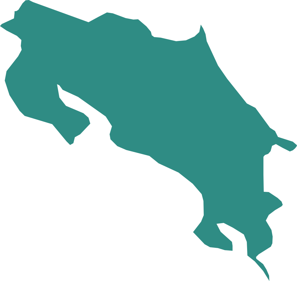
North and Central America and the larger Caribbean islands.
 Region
South America
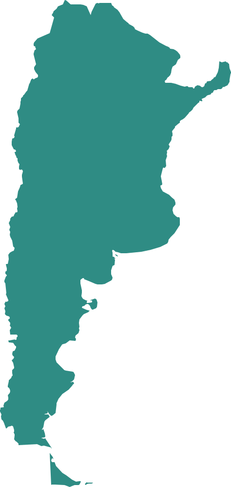
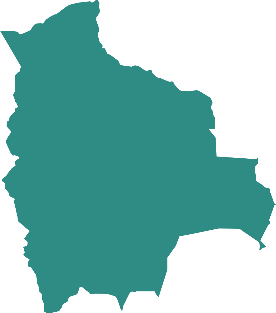
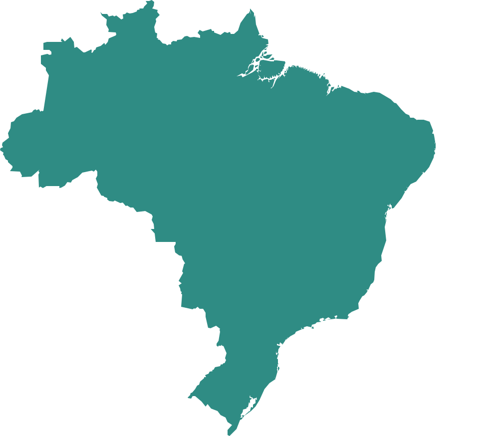
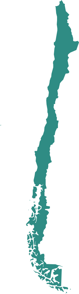
Twelve South American shapes, from the long, thin one to the biggest of them all.
 Region · hard
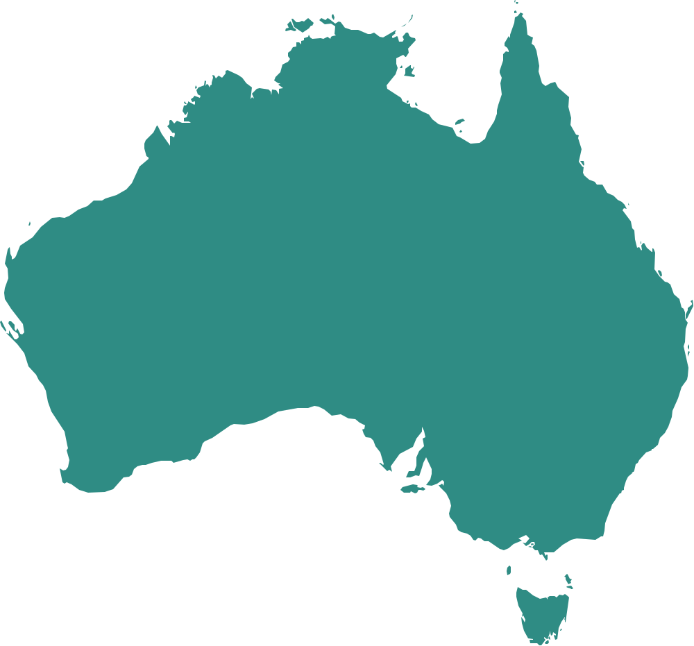
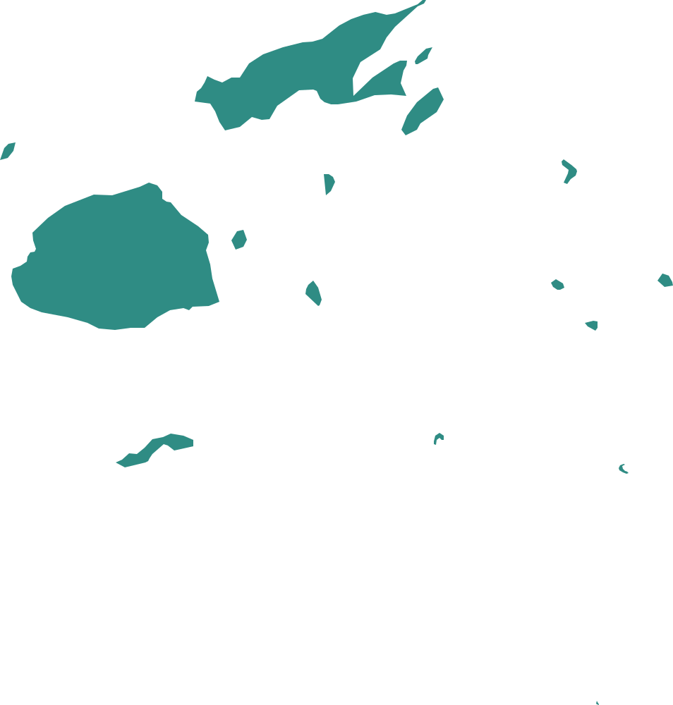
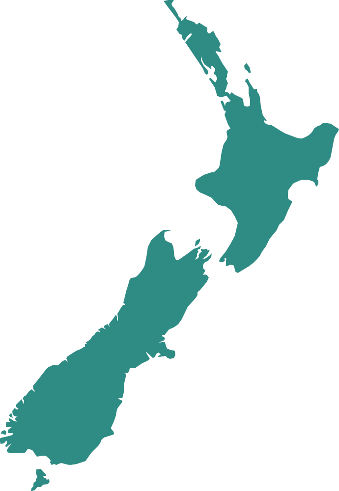
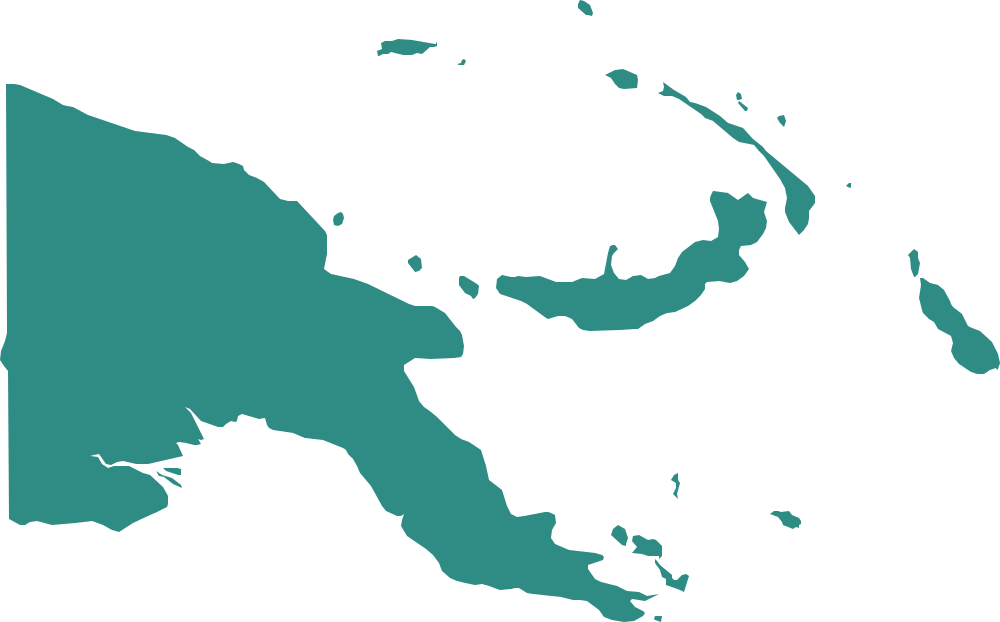
Oceania
A hard pack: Australia and New Zealand plus the Pacific island countries, some of them scattered over thousands of kilometres.
By difficulty
Well-known shapes
The shapes of the best-known countries. Most have a famous outline.
DifficultyFurther afield
Well-known countries whose shapes are less familiar.
Difficulty · hardExpert
Harder shapes, with look-alike outlines among the choices.
Challenges
Questions
Outlines and maps are made with Natural Earth (public domain). Sources and choices.
Population and area: The World Bank, World Development Indicators (CC BY 4.0).
How does an outlines round work?
You see the outline of a country, filled in, with no map around it, and pick its name from four choices. The choices are often its neighbours. After the answer a map shows the country among its neighbours, with its capital, region, population and land area.
Why are the shapes not to scale?
Every outline is drawn the same size so that a small country is as easy to see as a big one. The map after each answer shows the real scale.
What is the flag-colour hint?
Before you answer you can show the main colours of the country’s flag. It counts as help: a right answer after the hint is scored as “with a hint”, not as a first-try success.
Which countries are left out or kept for the hard packs?
Maldives and Tuvalu are left out: they are chains of tiny atolls with no recognisable outline. Countries with under 1,000 km² of mapped land and scattered island countries only appear in the hard packs.
Whose borders are these?
Borders follow Natural Earth’s Netherlands point-of-view edition (Crimea in Ukraine, all of Cyprus in Cyprus), with Morocco drawn without Western Sahara. That is a mapping choice for a learning game, not a political statement; the sources page has the details.
Is there a daily outlines round?
Not yet. These modes are practice only. A daily round is written into an append-only schedule the moment it is published, so it can never be corrected afterwards; the capital and border data have not had a human review yet, so they stay in practice packs, which can be fixed at any time. The daily flag round is unchanged.